UPDATE: A significant cold snap is set to envelop Southeast Georgia and Northeast Florida tonight, with temperatures expected to plunge as clear skies allow for rapid cooling.
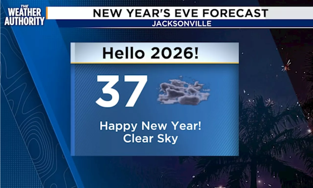
Residents should prepare for a Freeze Warning and Frost Advisory in effect from 3 a.m. to 8 a.m. on January 1, 2026. The National Weather Service has confirmed that these conditions could adversely affect sensitive vegetation, with frost likely in coastal areas and temperatures dropping into the 30s in inland regions.
As of this afternoon, temperatures were warmer than yesterday, but the forecast indicates a sharp decline overnight. Although temperatures east of I-95 are not expected to drop below freezing, inland areas are urged to protect plants, pets, and people from the impending chill.
Local meteorologists, including Michelle McCormick from News4JAX, are advising residents to stay vigilant, as the slight northwesterly winds may create a wind chill effect, making it feel even colder.
In addition to the cold, the region is bracing for a shift in weather patterns. A new cold front is anticipated to bring showers and isolated thunderstorms to Southeast Georgia and Northeast Florida on Saturday, January 2, 2026.
What to watch for: Stay tuned for more updates as the weather develops, and take necessary precautions against the cold. Residents are encouraged to check on vulnerable neighbors and make sure outdoor plants and pets are protected during this frigid weather event.
This cold snap marks a significant shift as we close out the year, reminding everyone of the unpredictability of winter weather in the Southeast. Share this news to keep your community informed and safe during this cold spell.