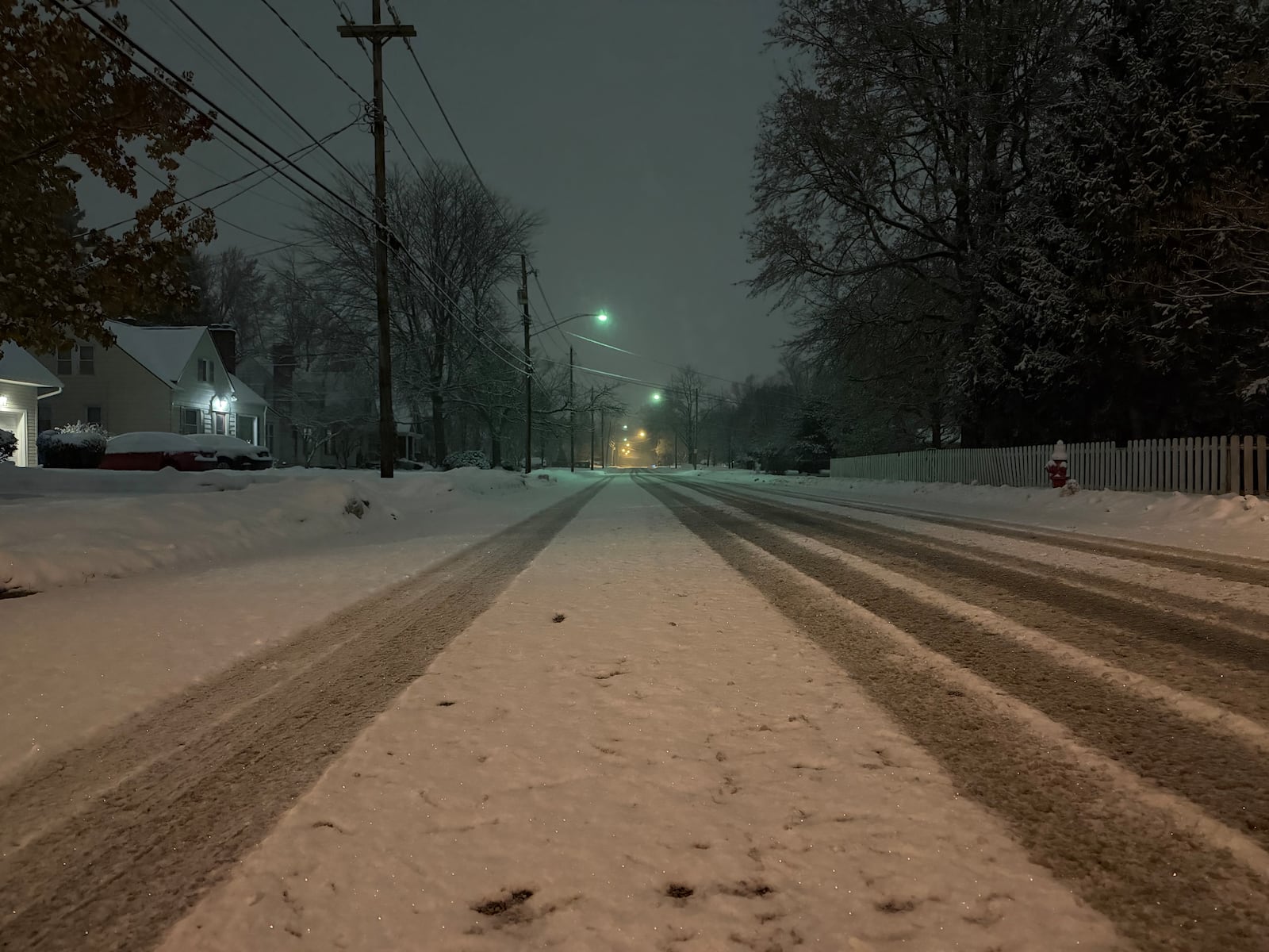
UPDATE: A powerful winter storm swept through Northeast Ohio early Tuesday, December 2, 2025, leaving behind a significant snow accumulation of 2 to 4 inches. Residents faced treacherous conditions as they stepped outside, compounded by widespread school closures and messy commutes across the region.
According to National Weather Service reports, the highest snowfall was recorded in Cleveland’s Kamms Corner, where 4 inches of snow was measured around 7:30 a.m.. Other areas weren’t far behind, with Richmond Heights reporting 3.9 inches, and Russell Center, North Ridgeville, and Chardon each recording 3.5 inches. Snowfall totals between 3 and 3.4 inches were common across Cuyahoga, Lake, Geauga, Summit, Medina, and Portage counties.
As the storm moves eastward, lake-effect snow is anticipated to redevelop this afternoon due to colder northerly winds flowing across Lake Erie. Forecasters warn that bands of snow may impact lakeshore communities, particularly from Cleveland eastward. While any additional snowfall is expected to be light, brief bursts of snow could reduce visibility in localized areas, posing further challenges for drivers.
Drivers are urged to exercise caution as they navigate the slick roads left behind by this winter storm. As conditions stabilize tonight with the arrival of high pressure, southwesterly winds will pick up Wednesday afternoon ahead of another cold front, although no significant snowfall is expected.
In light of these developments, residents are encouraged to stay updated on local forecasts and prepare for continued winter weather impacts. Share your experiences and photos of the snowfall on social media as Northeast Ohio braces for more winter weather.