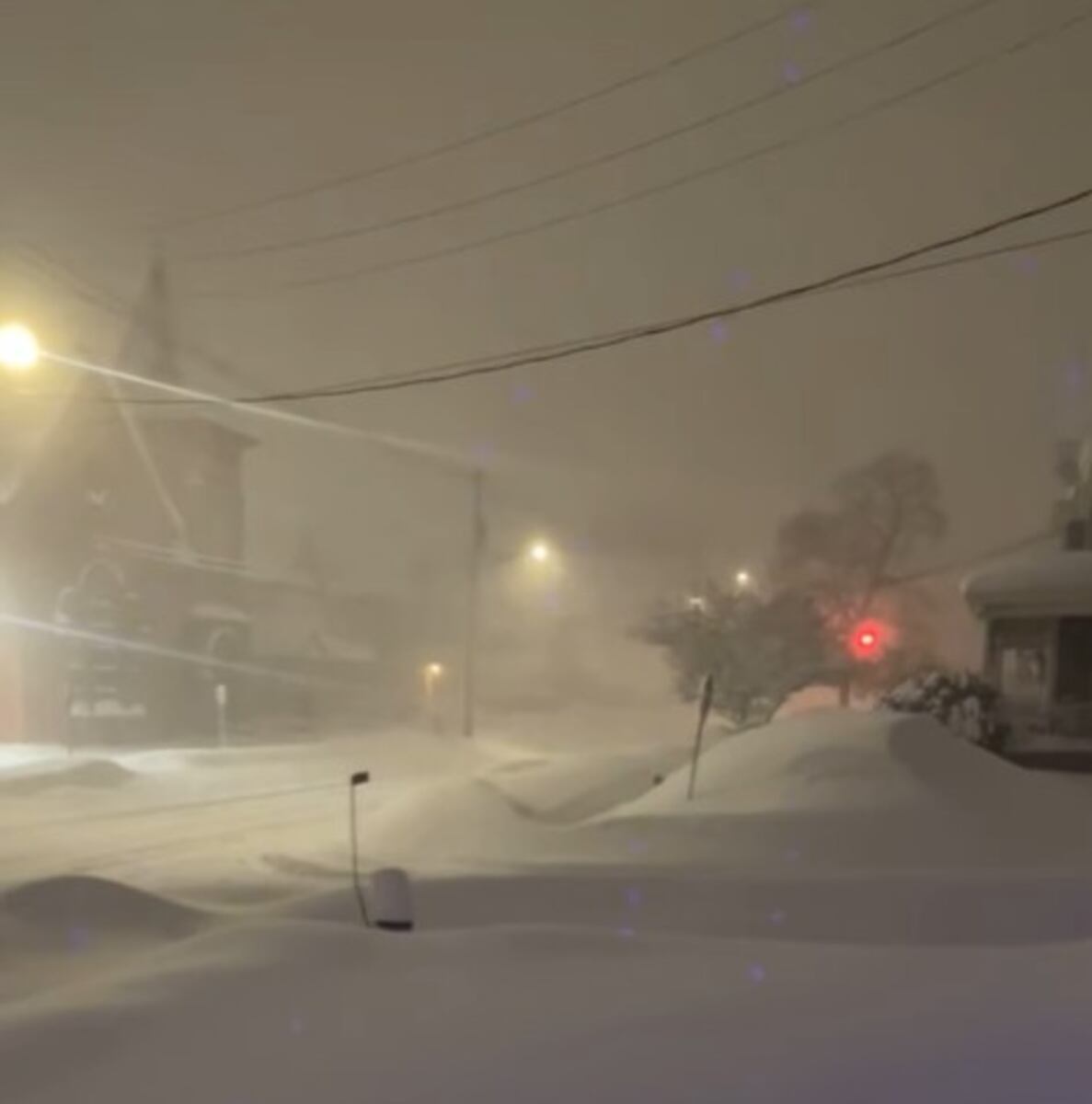
UPDATE: A powerful winter storm is unleashing severe blizzard conditions across New York City and the Tri-State area as of February 22, 2026. With forecasts predicting up to 17 inches of snow in NYC and potentially two feet in surrounding regions, residents are bracing for one of the most intense storms in years.
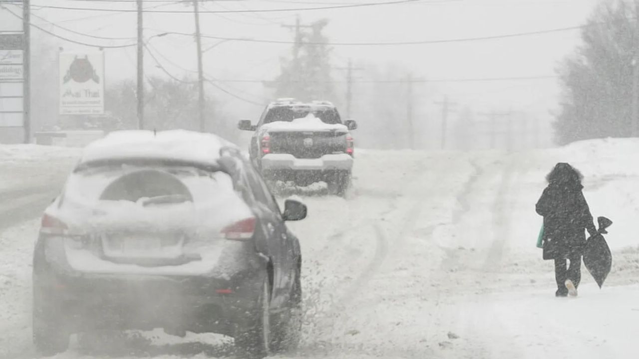
The National Weather Service has issued blizzard warnings, expecting heavy snow to fall at rates of 2 inches per hour, transitioning to sleet and ice in coastal areas such as Long Island and the I-95 corridor. Winds are gusting between 35-70 mph, creating near-whiteout conditions and dangerously low visibility expected to persist through Monday.
Temperatures have plummeted below freezing, with the wind chill dropping to below 0°F. This Arctic air is colder than any sustained period seen in NYC over the past eight years, raising concerns for vulnerable populations as wind chills could reach life-threatening levels overnight.
Blizzard warnings extend across NYC, New Jersey, Connecticut, parts of Pennsylvania, the Hudson Valley, and southern New England. The NOAA’s Winter Storm Severity Index indicates substantial to extreme impacts, particularly east and southeast of I-95, where the heaviest accumulations of over 12 inches are expected from Philadelphia through NYC to Boston.
Here are the anticipated snowfall totals and associated risks:
– NYC Core: 6-17 inches – Whiteouts, heavy snow rates
– Long Island / Coastal NJ: 6-12 inches, sleet mix – Icy roads, outages
– Hudson Valley / Inland CT: 12-24 inches – Blizzard conditions, drifts
– Philadelphia to Boston: 12+ inches – Extreme impacts, flooding
Due to these hazardous conditions, DoorDash has suspended operations in NYC until at least Monday at 10 a.m.. NYC’s Code Blue is active, ensuring that homeless shelters remain open 24/7 amid the severe cold snap.
Schools, medical facilities, workplaces, and major transit systems, including subways and flights, face widespread closures or delays. The city’s sanitation department has deployed 2,300 plows to tackle the accumulating snow. Airports are reporting mass cancellations, and Monday commutes are being deemed “extremely hazardous.”
Tragically, at least five New Yorkers were found deceased outdoors prior to the peak snow, highlighting the vulnerabilities in extreme cold. This storm evokes memories of the devastating 1888 Great Blizzard, which caused nearly 400 deaths and created 15-foot drifts, emphasizing the modern risks of infrastructure strain and prolonged sub-zero temperatures into next week. Power outages from ice and winds are increasing, with emergency states declared in New Jersey.
Residents are urged to avoid all non-essential travel, stock up on essentials, and heed local alerts. NYC Emergency Management is emphasizing the need for precautions against hypothermia. Plowing efforts will prioritize major arteries, but side streets may remain treacherous.
In conclusion, this high-impact storm necessitates vigilance through Monday as snowfall tapers but the bitter cold persists. This event has the potential to rival historic storms in its disruption. Stay informed via official channels to minimize risks and ensure safety during this extreme weather event.